Blog

  • Fish Traps of Heceta Island

    Fish Traps of Heceta Island

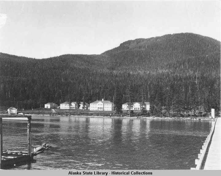
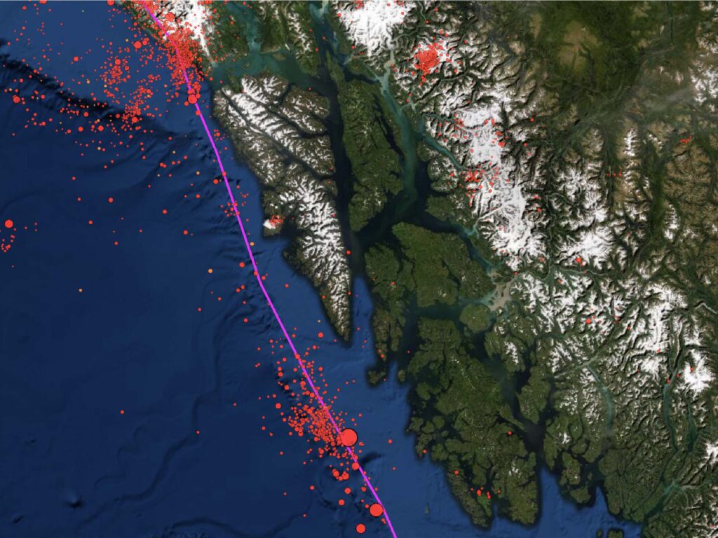
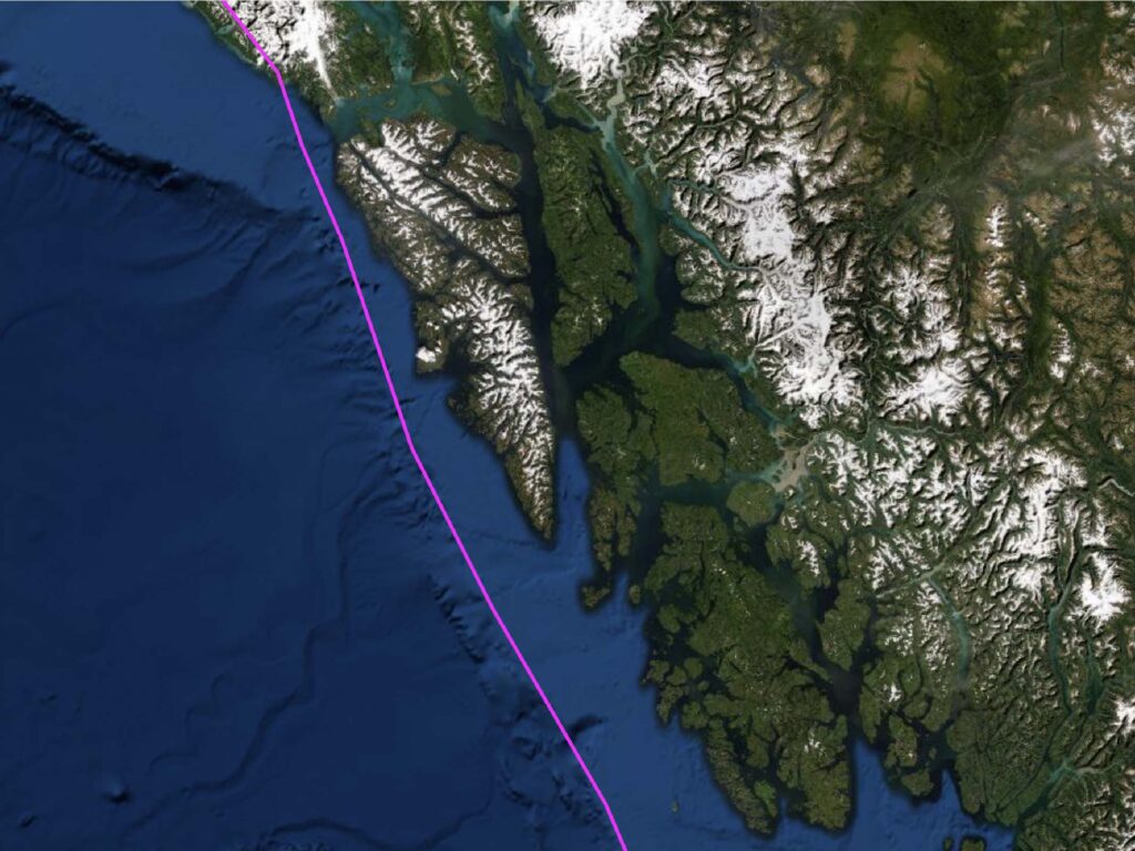
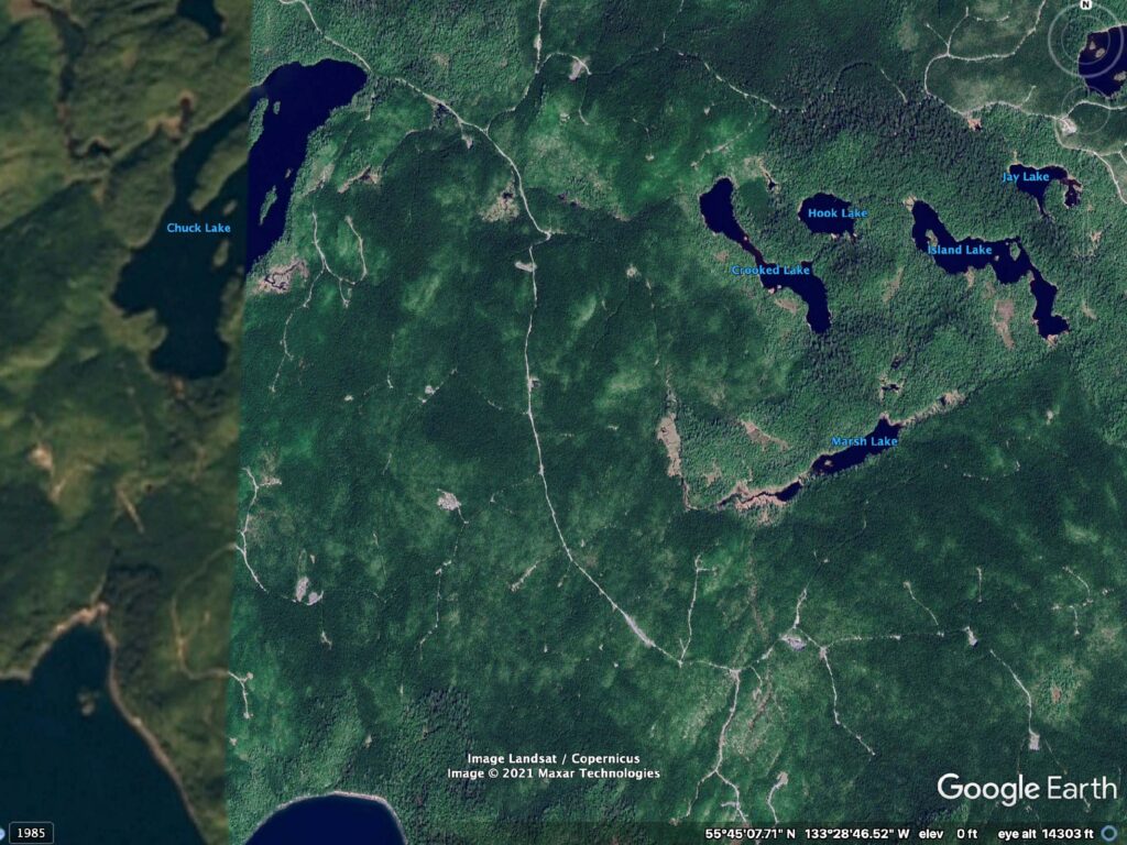
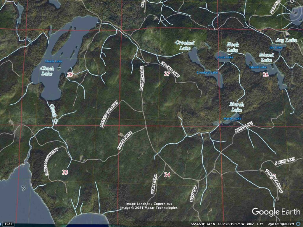
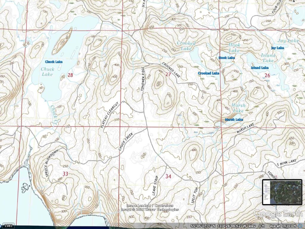
    According to Gillespie, “This evidence includes excavations at the Chuck Lake site on Heceta Island demonstrating the use of shellfish, marine fishes, and sea mammal hunting. This site produced microblade technology, dating to about 8,800 years ago (Gillispie, 2018, p.21). The Island had been occupied for a long time. It is reasonable to think a substantial amount of people lived there.

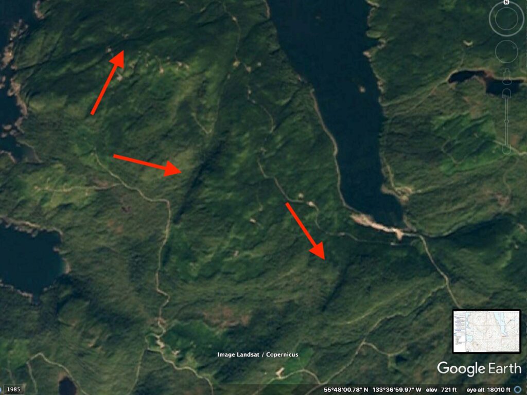
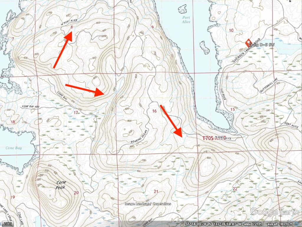
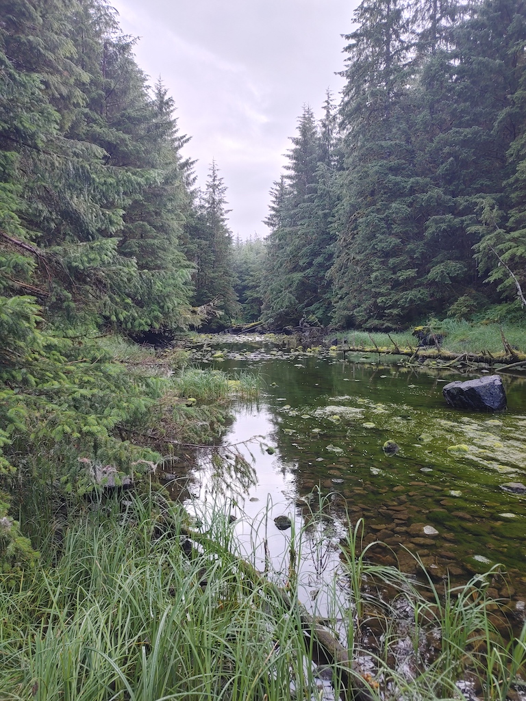
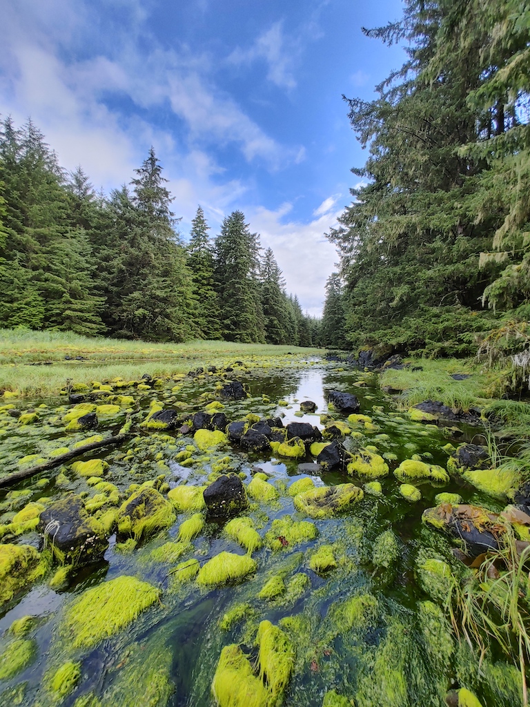
    Over time, Tlingit developed an advanced way of capturing fish humanely and sustainably. That was through the use of fish traps. If you examine the photo above, you may notice rocks piled in the creek in a row. If an aerial image was available, you may notice a pattern that would divert the fish into pools making capture easier. Posts piled into the ground may have been used in deeper creeks or rivers. Here is an excellent video explaining how they were used.

    Here is another great video using similar methods in Klawock.

    References
    Gillispie, T. (2018). An Overview of Alaskan’s Prehistoric Cultures. Alaska Department of Natural Resources. Retrieved from http://dnr.alaska.gov/parks/oha/publications/oha173overviewofalaskaprehistory.pdf

  • Decimation and Removal

    Decimation and Removal

    In 1775, Bruno De Heceta introduced smallpox to the community, killing an estimated 30% of the population (Hunn et al., 2002, p. 33). It was reintroduced to the area again around 1801, 1836, and 1862 with an extrapolated mortality of 60-95% of the remaining population (Bean, 2020). My grandmother Eva was born in 1916 and spent the first eight years of her life on the island (Ketah, 2021c, 4:45). She said her family was the only one left besides the temporary cannery that was opposite their house in Warm Chuck (Ketah, 2021c, 5:40). In 1924, they abandoned Warm Chuck when facing jail for not attending school (Ketah, 2021b, 7:45; 2021c 5:00). 

    This is a short post but does not come close to expressing the terrible effects of smallpox and other diseases. It was not just an emotional time, it had consequences of disrupting a way of life. It meant knowledge was lost. The forced removal to attend residential schools is a whole other story to tell. This post will be expanded on as it is researched further.

    Additional recommended reading. Lingít ḵa Waashdan Ḵwáan, the Tlingit and the Americans: Interactions and Transformations, 1856-1896

    References
    Image – An undated photo of the Wrangell Institute school. (Photo courtesy Alaska State Library Historical Collections)
    Bean, D. (2020). Unforeseen Consequences. Soul of a community. Retrieved from https://www.soulofacommunity.com/single-post/2020/04/19/unforeseen-consequences
    Hunn, S., Johnson, D., Russell, P., & Thornton, T. (2002). A study of traditional use of birds’ eggs by the Huna Tlingit. National Park Service, Pacific Northwest Cooperative Ecosystem Studies Unit, Technical Report (NPS/CCSOUW/NRTR-2002-02 NPS D-113 ), Seattle, Washington.
    Ketah, J. (2021b). Eva Dowhitt History by Haines Dewitt. Unpublished video. Home video.
    Ketah, J. (2021c). Eva Dowhitt – Thurston Ketah. Unpublished video. Home video.

  • The Family of Heceta Island

    The Family of Heceta Island

    Daaw Hít – page under construction

  • Who are the Tlingit People?

    Who are the Tlingit People?

    Few details exist about pre-contact and early contact times of Heceta Island. What does exist are fragments of information spread across many sources. The primary source of information is passed down through the transference of knowledge from one generation to the next through oral history telling. The next best is documentation made by ethnographers in early times of contact. 

    Archeologists’ have dated remains on Heceta Island to be over 8000 years old (Gillispie, 2018). The remains do not identify which tribe they are from. It is known the last people living here before forced removal by the United States government were Tlingit. The Tlingit occupied this region for time immemorial.

    The Tlingit are not and were not a primitive culture. Rich resources allowed the time to develop very advanced structure, family, art, dance, philosophy, language, economy, homes, tools, and other elements of advanced cultures. The misrepresentation of media and pop culture is the only reason anyone would think otherwise. Many other resources go into depth on this culture. You are urged to explore it more.

    A list of resources will be added to this page in the future.

    Art revitalization

    Shamanism and Christianity

    References
    Gillispie, T. (2018). An Overview of Alaskan’s Prehistoric Cultures. Alaska Department of Natural Resources. Retrieved from http://dnr.alaska.gov/parks/oha/publications/oha173overviewofalaskaprehistory.pdf

  • Active Geology of Heceta Island

    Active Geology of Heceta Island

    What geological processes are actively affecting the region?

    In the last 100 years the most activity that could be measured at or nearby Heceta Island, which is not caused by humans, is tectonic activity. Here is a summary of that activity.

    The seismic activity in the area was low in the decades up to around the year 2000. Seismic Explorer
    You can see in between 2000, and 2010 activity picked up. Seismic Explorer
    In 2003 a 6-magnitude earthquake occurred nearby. Seismic Explorer
    It was followed the next year with a 6.8. Seismic Explorer
    Between 2010 and 2020 seismic activity steadily increased. Seismic Explorer
    Here is the transform boundary between the Pacific plate and North American plate alongside the activity up to 2020. Seismic Explorer
    In 2013 a 7.5 earthquake registered nearby Heceta Island. Seismic Explorer
    The same month another earthquake followed registering a 5.9.  Seismic Explorer
  • Geological Formation of Heceta Island

    Geological Formation of Heceta Island

    Heceta Island is part of Alexander Terrane. It is a large crust fragment formed on a tectonic plate. The fragment sheared off the oceanic Pacific Plate and was deposited onto the continental North American Plate somewhere between the middle Jurassic and Late Cretaceous time (Kovarik, 2009). According to Kovark (2009), “The process of accretion resulted in fragmentation and smearing of sections of the terrane northward, while other portions remained in place” (p. 9). Read more about this process at the National Park Service.
    The island is next to a transform boundary that runs North and South. Seismic Explorer
    This image shows multiple locations of fragmentation. That could be due to strike slips near the fault line -Google Earth
    Here you can see it from a different perspective -Google Earth

    Heceta Island has 5 volcanos nearby

    The oldest is Hoodoo Mountain. Hoodoo is 110 miles to the Northeast and erupted over 9500 years ago. Seismic Explorer
    Mount Edgecumbe is 120 miles away from the Northwest and last erupted 4,241 years ago. Mount Edgecumbe is a sacred Tlingit Mountain. Seismic Explorer
    Edziza (Crud Z eye Z uh) Mountain is 175 miles away to the Northeast and last erupted in the year 950. Edziza (Crud Z eye Z uh) is an ancient source of obsidian that was used for tools and weapons. Seismic Explorer
    The Tseax (SEE-aks) River Cone is 180 miles away from the Southeast and last erupted in 1690. Seismic Explorer
    The Iskut-Unuk (Kiss cut you nuck) River Cones is located 120 miles away to the Northeast and last erupted in 1904. The Tlingit have oral history about this being one of the tall locations people fled to during the great flood. Seismic Explorer

    Glacial activity

    I chose this 1984 image from Google Earth because you can see the glacial flow N-NW of Juneau, as well as in a few other spots. All of Southeast Alaska’s landscape has this similar look. You can see ocean inlets that are formed from glacial troughs’. I think these are called fjords. The telltale signs of glacial erosion are all over. I can see cirques and aretes stand out as the obvious details, but you can find horns and tarns. -Google Earth
    Heavy ablation at the lower ends has caused a quick retreat between 1984 and 2020. These images were both taken in December to show a fair comparison. -Google Earth
    This last image has a couple of features that caught my eye.  I see what may have been an esker. Next to it, you can see a feature that appears to be an alluvial fan. It may be underwater because ocean levels rose after it was created.

    References
    Kovarik, J. (2009, Aug 2). Karst and caves in Southeast Alaska. National Speleological Society. Retrieved from: https://www.fs.usda.gov/Internet/FSE_DOCUMENTS/fseprd530375.pdf

  • Chuck Creek Watershed

    Chuck Creek Watershed

    Chuck Creek is an ancestral water source for people that lived in the Warm Chuck Inlet. This area is one of the wetter climates of our country with an average annual precipitation of 138”. Chuck Creek is an outlet that flows from Chuck Lake.

    The watershed that supports Chuck Lake is a system of streams and a chain of smaller lakes. The lake’s west side has a few ponds and marsh areas that feed into it. The headwaters start with Jay Lake, then Island Lake, into Hook Lake. Marsh Lake is surrounded by marsh and feeds into Hook Lake. Hook Lake then feeds into Crooked Lake, then finally Chuck Lake. -Google Earth
    Here is the complete dendritic pattern. -Google Earth
    The above information was obtained by examining a topographical map to determine low spots and travel. -Google Earth
  • Whats in a name? Lingit placenames before Heceta.

    Whats in a name? Lingit placenames before Heceta.

    Bruna De Heceta explored Southeast Alaska in 1775 as lieutenant acting as captain on the Santiago (Bancroft, 1886, p.197). The Island is listed as being named in 1879 by William Healey Dall of the U.S. Coast and Geodetic Survey (GNIS Detail, 1981). I could not find an original source for this. 

    Browsing through “The works of Hubert Howe Bancroft,” I noticed several people’s names that were given to land in this region (Bancroft, 1886). Other than Heceta, names that stood out to me were Maurelle, Anguilla, and Sonora. Sonora Island is the island that is also Dàaw Hit (Thornton, 2012, p.167). Anguilla Island was already named Kakuxdoowu, which means on the point dwellers (Thornton, 2012, p. 167). This is an island that is part of what is now called the Maurelle Islands. Another in this island chain is Daa Gíl’ Daa, which I wanted to point out because of its practical name. It means an island with cliffs around it (Thornton, 2012, p.167).

     I do not know if the Tlingit ever had a name for the island of Heceta. I did find names for individual locations on Heceta Island. The protected area of Warm Chuck Inlet is where the most named locations are at. Warm Chuck itself is Yat’àayi Héen which translates as this place warm water. I examined topographical maps that show the water depth in this area as shallow. I speculate the name means that the water is warmed by the sun at the head due to the shallow water depth. Entering the inlet, we have ship rock or Yakw Te. On the North side of the inlet is the winter village Taakw.aan. Across from Taakw.aan is S’ik.héeni, which translates as black bear creek. As you leave the inlet heading North, is Ts’x’wa.aan Village. The main village that residents occupied was Ts’x’wa.aan (Olson, 1989). On the opposite side of Heceta Island is a place where bird eggs were collected, and it was named just that, Bird Egg Island or K’watl’ x’áat’ (Thornton, 2012, p.167). Place names would have been learned matrilineal, but several things contribute to why most of them were lost.

    References
    Bancroft, H. (1886). The works of Hubert Howe Bancroft volume XXXIII. A, L. Bancroft & Company. Retrieved from https://archive.org/details/worksofhuberthow33banx.
    Gnis detail. (1981). Heceta island. US Geological Survey. https://geonames.usgs.gov/apex/f?p=GNISPQ%3A3%3A%3A%3ANO%3A%3AP3_FID%3A1422507.
    Olson, W. (1989). Warm Chuck Village Report of 1989 research. Unpublished manuscript, University of Alaska Southeast.
    Thornton, T. (2012). Our grandparents’ names on the land. University of Washington Press.

  • Where is Heceta Island?

    Where is Heceta Island?

    https://youtu.be/dV1hs_Z4VlQ

    Here is a clip that starts centered on the Chuck Creek watershed area, then zooms out, showing the entire planet.


    Check out this image from Alaska Business Magazine that shows how big Alaska is! Check out the article to see more cool comparisons.

    Map of Southeast Alaska, USA, showing the study area on Heceta Island where we investigated relationships between habitat characteristics and mortality of Sitka black-tailed deer, 1997–2000.

    This image shows a callout of Heceta Island from Alaska. The article is comes from is: Risk Factors and Mortality of Black‐Tailed Deer in a Managed Forest Landscape – Scientific Figure on ResearchGate. Available from: https://www.researchgate.net/figure/Map-of-Southeast-Alaska-USA-showing-the-study-area-on-Heceta-Island-where-we_fig1_228661117 [accessed 16 Jun, 2022]


  • Heceta Island Plants

    Heceta Island Plants

    According to the publication, Our food is our Tlingit way of life, food plants include black seaweed, salmonberry, thimbleberry, blueberry, fiddleheads, wild potatoes, wild celery, nettle, dandelion, goose tongue, devil’s club, and more. (Newton & Moss, 2009).

    Other plants you may see on the island are moss, muskeg, red cedar, and yellow cedar, as listed by the Forest Service.

    References
    Newton, R., & Moss, M. (2009). Our food is our Tlingit way of life. United States Department of Agriculture.

  • Heceta Island Animals

    Heceta Island Animals

    Traditionally one of the things that makes a great place to live is abundant access to food sources. According to Tlingit elder Elwood Thomas, the creeks had runs of sockeye, humpback, and dog salmon (Olson, 1989). The publication Our food is our Tlingit way of life adds but is not limited to black bear, beaver, cockles, deer, sculpin, duck, eulachon, goose, gumboots, herring, herring eggs, ling cod, octopus, ptarmigan, sea cucumber, seal, flounder, bird eggs, clams, and trout as possible food sources (Newton & Moss, 2009).

    The proximity of Heceta Island to Prince of Whales Island gives you an idea of what else may inhabit the island and its waters. According to the website Destination Wildlife, it is possible you may also see a grey wolf, mink, ermine, martin, mouse, bat, frog, newt, toad, bald eagle, osprey, crane, swan, petrel, auklet, humpback whale, grey whale, beluga whale, dolphin, porpoise, sea lion, sea otter or killer whale.

    Endangered animals in the are sea otter, and sei whale according to Howard Hughes Medical Institute’s Biome Viewer.

    References
    Newton, R., & Moss, M. (2009). Our food is our Tlingit way of life. United States Department of Agriculture.
    Olson, W. (1989). Warm Chuck Village Report of 1989 research. Unpublished manuscript, University of Alaska Southeast.