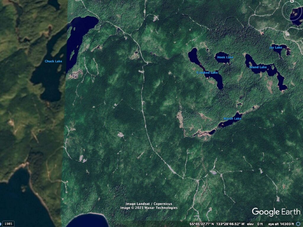
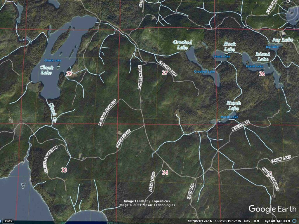
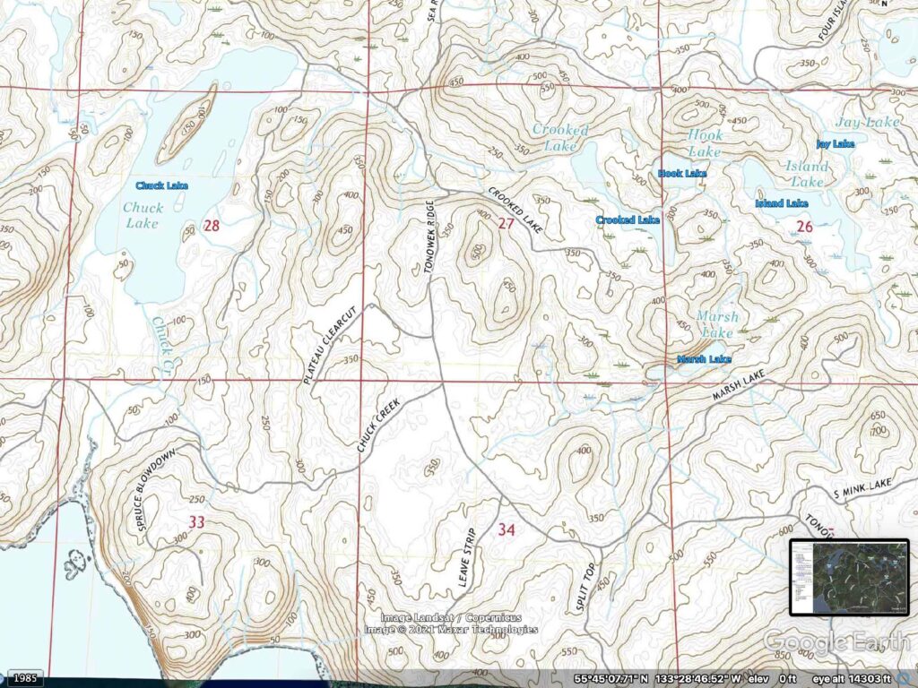
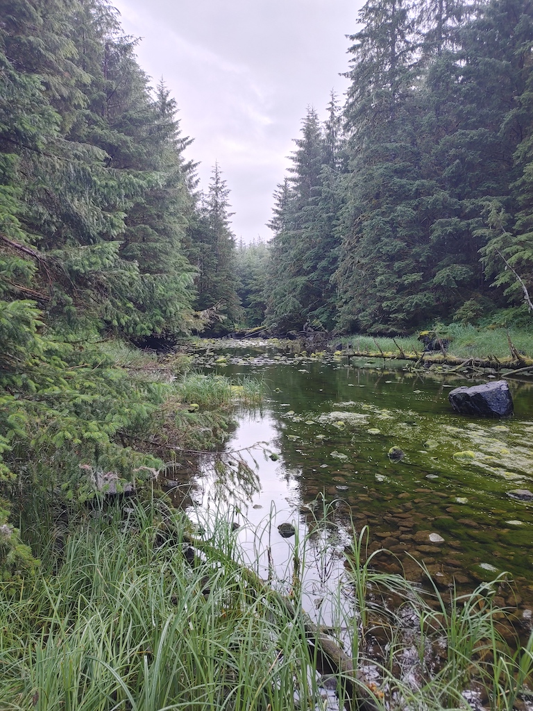
Chuck Creek is an ancestral water source for people that lived in the Warm Chuck Inlet. This area is one of the wetter climates of our country with an average annual precipitation of 138”. Chuck Creek is an outlet that flows from Chuck Lake.


Chuck Creek is an ancestral water source for people that lived in the Warm Chuck Inlet. This area is one of the wetter climates of our country with an average annual precipitation of 138”. Chuck Creek is an outlet that flows from Chuck Lake.


